3D Geospatial surveys
Our survey team can provide 3D surveys
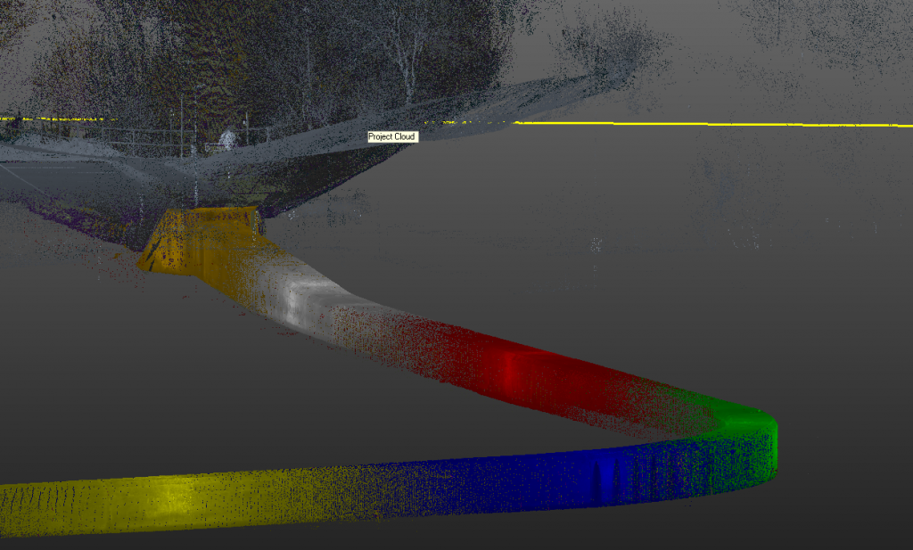
Introducing 3D Geospatial reporting
Our survey team can provide 3D mapping for previously unmarked assets using complex multi-layered surveys. 3D Geospatial surveys utilise technologies such as satellite imagery, laser mapping and GPS to quickly create layers of interconnected geographic information in a 3D format. We can provide 3D mapping of everything from the interior of building and other man-made structures such as underground water ways, tunnels, culverts, drainage and sewerage systems to land profiles.
Why choose us?
Experts in the provision of Portable frame dams and other temporary dam solutions, civils contracting and a wide range of inspection and survey services. Our growing and highly experienced teams have many industry years under their belts with excellent training and understanding of the projects and solutions that we deliver.
Accreditations